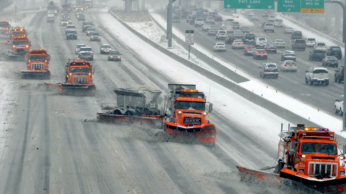
Heavy mountain snow slamming western U.S. through the weekend

Story by: Nick Austin, Director of Weather Analytics and Senior Meteorologist @FreightWaves
The snow keeps flying across several parts of the western U.S. today, Dec. 5, and it will come down heavily in some areas. Meanwhile, other spots are more at risk for ice-covered roads. Then, a potent storm will slam California this weekend.
SONAR Critical Events: Thursday, Dec.5, 2019, 9 a.m. EST
Drivers who have to go through high elevations of Utah, the Rockies of western Colorado, southern Wyoming, southeastern Idaho and northern New Mexico will run into snowfall today. Four to eight inches of total accumulation will be common, but up to 12 inches could pile up in the highest peaks of the La Sal and Abajo Mountains of southeastern Utah, as well as the San Juan Mountains of southwestern Colorado. These areas are south of I-70. Wind gusts reaching 35 mph will send snow on a horizontal trajectory in some spots, resulting in periods of near white-out conditions.
Several lower slopes will see light snow, freezing drizzle and icy conditions. This includes portions of I-80 and I-15 just north and west of Salt Lake City, in addition to southeastern Idaho.
Look for a mix of rain showers and snow showers in eastern Colorado and the Denver area. This storm should fade by sundown this evening as it moves toward the central Plains.
Read the full story HERE and see more weather and trucking news @ FreightWaves.com
Source and credits: freightwaves.com / Nick Austin / iTrucker / Mario Pawlowski


