


Multi-day snowstorm to slam western US (with forecast video)
Story by: @ FreightWaves.com
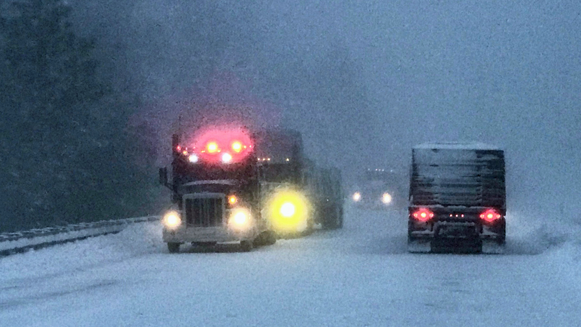
A prolonged stretch of wintry weather begins today, Dec. 11, in the mountains of the Pacific Northwest, the northern Rockies and other high elevations of western states. Disruptions are likely to affect transportation and freight movement, in addition to local and regional supply chains and business operations, especially in the higher terrain. When it’s all said and done, some areas could be buried in 4 feet of snow.
The first round of snow – confined mainly to the mountains of Idaho, western Montana and northeastern Nevada – will move into western Wyoming this afternoon, Dec. 11, fading this evening. But a persistent flow of moisture off the Pacific Ocean will crank up across the region later tonight, continuing at least into Friday, Dec. 13. This, combined with impulses developing in the jet stream, will result in several periods of moderate to heavy snow.
Snowfall amounts
Total snowfall accumulations in the higher elevations of Washington state, Oregon, Idaho, Montana and Wyoming will be in the 10- to 20-inch range, with some of the highest peaks getting slammed with 2 to 4 feet of total snow over the next few days.
Mountain snow this afternoon through Friday! Snow levels 4000-4500 feet today will lower to 3000-3500 feet by Thursday night into Friday morning. Travel could become difficult over the passes. Check @wsdot_passes for latest conditions! #WAwx pic.twitter.com/dol60opewc
— NWS Seattle (@NWSSeattle) December 11, 2019
More specifically, the National Weather Service (NWS) is expecting accumulations of 2 to 4 feet above 4,500 feet in elevation for many parts of the Cascades in Washington state; 12 to 24 inches between 3,500 and 4,500 feet; and 3 to 6 inches between 3,000 to 3,500 feet. This affects areas such as Mount Baker Ski Area, Stevens Pass (US-2), Snoqualmie Pass (I-90), Paradise on Mount Rainier and White Pass (US-12). Locations near the Cascade crest could see up to 3 feet of total snowfall, with 15 to 30 inches in the Cascades of southern Washington, including the Mount St. Helens area.
The Olympic Mountains in Washington, as well as adjacent valleys, will see 3 to 6 inches between 3,500 and 4,000 feet. This includes Hurricane Ridge.
The Cascades of Oregon could get slammed with 12 to 24 inches of snowfall, with higher accumulations above 5,500 feet. This would include spots like McKenzie and Santiam passes.
Read the full story, see more weather forecasts and its impact on the freight movement HERE @ freightwaves.com
Source and credits: freightwaves.com / / iTrucker / Mario Pawlowski