


Snowstorms to hit two corners of US this weekend (with forecast video)
Story by: Nick Austin, Director of Weather Analytics and Senior Meteorologist @ FreightWaves.com
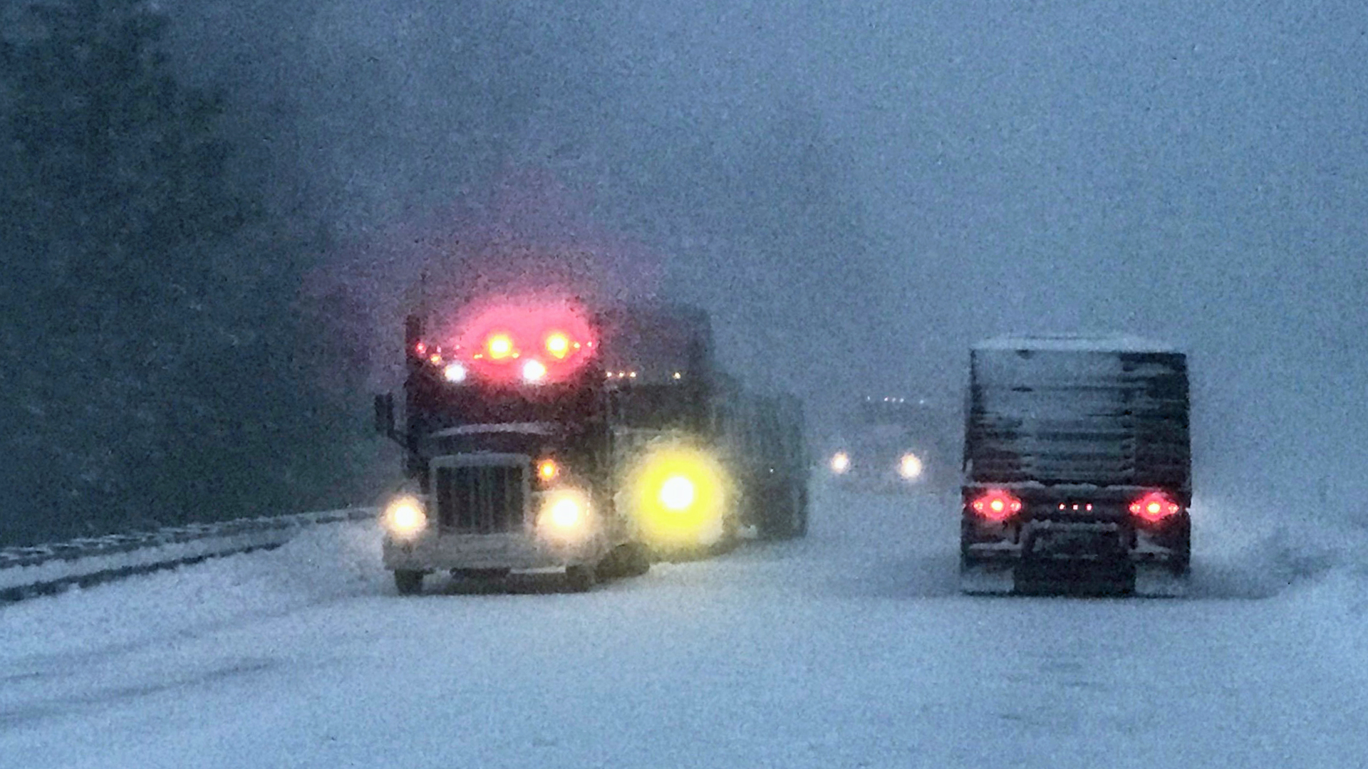
Rough weather will challenge truckers in opposite corners of the country this weekend. Two more rounds of heavy snowfall and strong winds will slam the Pacific Northwest, where freight markets have been quite volatile; and snow will also cover much of New England. Drivers will have to chain up. They, along with shippers, will have to prepare for possible delays.

Snow and rain from earlier today, Jan. 3, is fading across the Cascades in Washington and the northern Rockies in Idaho and Montana, but roads will remain very slick. After a fairly short break, the next storm will dump heavy snowfall in many of the same areas later tonight and tomorrow, Jan. 4, as well as in the Cascades of Oregon and northern California. This will be followed by yet another round on Sunday.
Many high elevations above 4,000 feet in the northern Washington Cascades will see 10 to 18 inches through tomorrow. Look for totals of 8 to 12 inches between 3,000 and 4,000 feet, and 4 to 8 inches between 2,000 and 3,000 feet. Areas in the southern Washington and northern Oregon Cascades will be hit with 6 to 12 inches of new snowfall, in addition to wind gusts up to 45 mph. Six to 12 inches could pile up in the southern Oregon Cascades, as well as the Crater Lake area, along with wind gusts of 45 to 50 mph. After another respite Saturday night, another storm may produce at least several more inches of snowfall on Sunday.
A far as interstates, mountain passes on I-90 will be affected the most. Problems could also arise on US-2. Possible trouble spots include, but are not limited to Stevens, Snoqualmie, Lookout, Lolo, Willamette, Santiam, McKenzie and Marias passes; Crater Lake National Park; and Mount St. Helens.
Strong winds will result in periods of blowing snow and white-out conditions, in addition to potential power outages and roadblocks.
Meanwhile, down below, a few inches of drenching rain this weekend could cause localized flooding and mudslides in some lower slopes/valleys mainly west of the I-5 corridor in Washington and Oregon. But prior to the weekend rain, winds will be howling today and this evening along the Pacific Coast of Washington and north of Seattle in Puget Sound. Gusts from the south-southeast are forecast to reach 50 mph at times in places such as Friday Harbor, Bellingham, Mount Vernon, Port Townsend, Clearwater, Aberdeen and Hoquiam.
Read the full store and weather impact on freight movement HERE @ freightwaves.com
Source and credits: freightwaves.com / Nick Austin / iTrucker / Mario Pawlowski